Day 116: (A Little Bit Of) The Karakoram Highway
Kashgar is the beginning (or the end, depending which way you go) of the great Karakoram Highway. This road connects China to Pakistan over the 4800m Khunjerab Pass in the western Himalaya, and continues down to Islamabad. It took 20 years to plan and build and is an engineering marvel. It takes well over a week to drive it from end to end, and unfortunately my plans don’t allow for me to do it. BUT I was able to get a bit of a taste!
I signed up to do a day trip to Karakul Lake, five hours drive south of Kashgar and deep within the Pamir mountains. Along with the same three Israelis (Koresh, Tina, Ivan) that I’d come over the Torugart Pass with, we left Kashgar early in probably the slowest taxi ever that we’d chartered for the day.
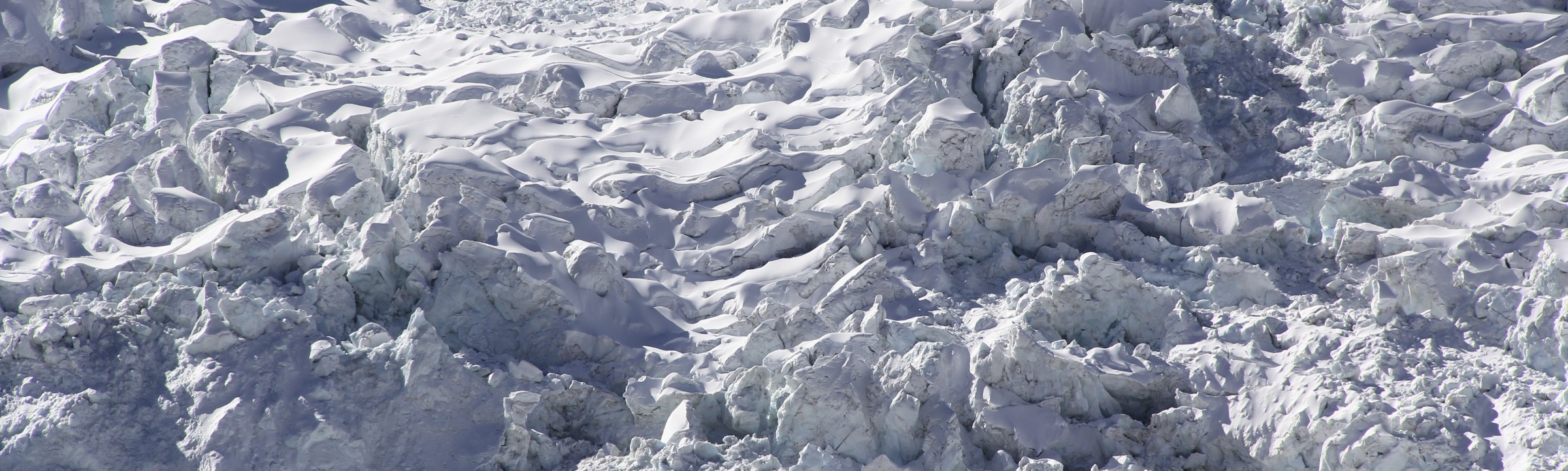
As we drove south we skirted past the western fringe of the Taklamakan Desert before delving deep into a narrow mountain valley with cliffs that soared kilometres above us. The next few hours drive were some of the most spectacular I’ve ever experienced. We followed the Ghez river south, and the size of some of the boulders in the river bed spoke volumes about the rockfalls that sometimes come down (even now, before winter, parts of the road were washed out) and the strength of the river in the Spring thaw. On both side of the canyon many glaciers and ice falls cascaded down from the mountains into the valleys.
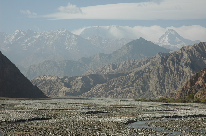
Flood plains, deep ravines and gigantic mountains – pure Karakoram!
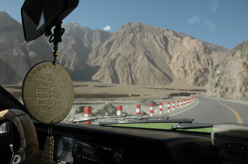
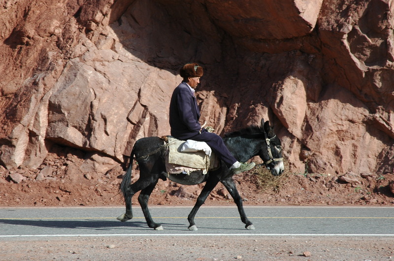
In sh’allah we will make it! Karakoram the old fashioned way.
Two hours into the canyon we drove past a wide river plateau ringed with huuuge sand dunes that spilled up onto the lower slopes of the mountains. The place is aptly named Kumtagh (Sand Mountain).
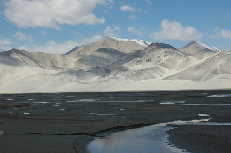
Mountains meet deserts – pure Karakoram!
A further two hours up the valley we arrived at 3000m-high Karakul Lake, a small alpine lake with a few basic concrete yurts built around it (the area is inhabited by ethnic Kyrgyz and Tajik people). While the lake itself was pretty average, the vista beyond was outstanding. The Kilimanjaro-esque massif of 7546m Muztagh Ata rose up more than 4km above us on the other (northern) side of the lake, and the even higher 7719m Kongur peak was in clouds to the south. Only the scores of glaciers streaming down the valleys on its sides were visible – and they were impressive enough!
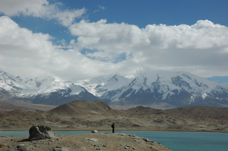
What a vista!
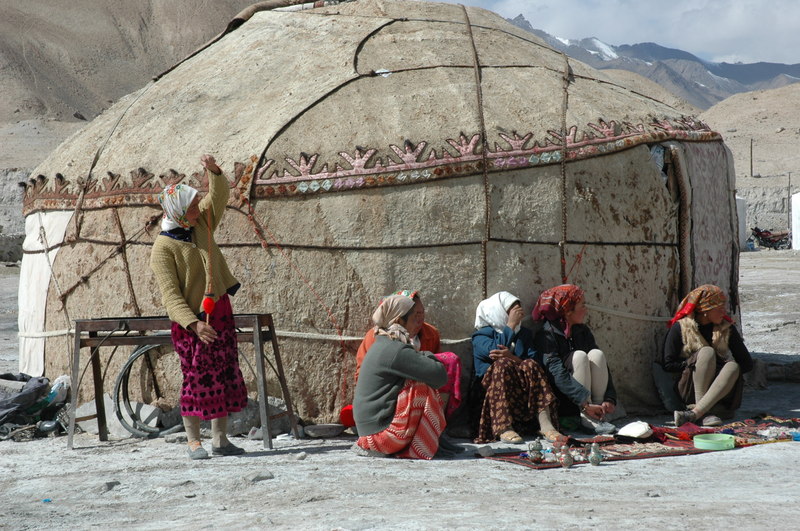
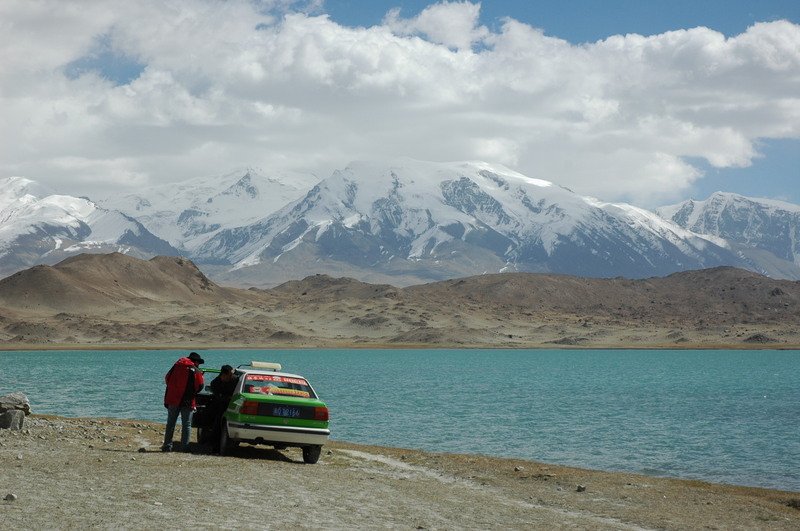
The local Tajiks. Taxi!
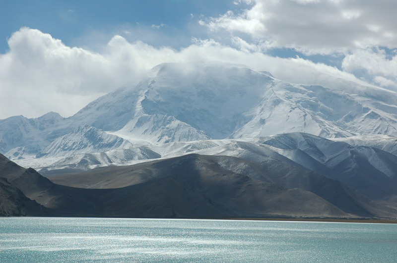
The beautiful 7546m Muztagh Ata across the lake.